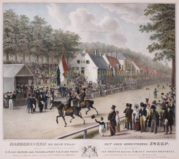
Joan Blaeu (1596-1673), nació el 23 de septiembre de 1596 en Alkmaar.
Fue un cartógrafo holandés nacido en Alkmaar. Siguió los pasos de su padre, el cartógrafo Willem Blaeu.
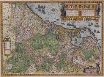
En 1620 se doctoró en derecho pero se incorporó a la obra de su padre. En 1635 publicaron el Atlas Novus (título completo: Theatrum orbis terrarum, sive, Atlas novus) en dos volúmenes. Joan y su hermano Cornelius se hicieron cargo del estudio después de la muerte de su padre en 1638. Joan se convirtió en el cartógrafo oficial de la Compañía Holandesa de las Indias Orientales.
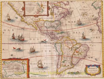
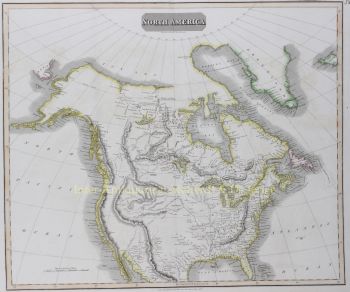
El mapa del mundo de Blaeu, Nova et Accuratissima Terrarum Orbis Tabula, que incorpora los descubrimientos de Abel Tasman, se publicó en 1648. Este mapa fue revolucionario porque "representa el sistema solar de acuerdo con las teorías heliocéntricas de Nicolaus Copernicus, que muestran la Tierra girando alrededor el sol... Aunque el innovador libro de Copérnico Sobre las revoluciones de las esferas se imprimió por primera vez en 1543, poco más de un siglo antes, Blaeu fue el primer cartógrafo en incorporar esta revolucionaria teoría heliocéntrica en un mapa del mundo".
El mapa de Blaeu se copió para el mapa del mundo colocado en el pavimento del Groote Burger-Zaal del nuevo Ayuntamiento de Ámsterdam, diseñado por el arquitecto holandés Jacob van Campen (ahora el Palacio Real de Ámsterdam), en 1655.
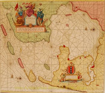
La Hollandia Nova de Blaeu también se representó en su Archipelagus Orientalis sive Asiaticus publicado en 1659 en el Kurfürsten Atlas (Atlas del Gran Elector). y utilizado por Melchisédech Thévenot para producir su mapa, Hollandia Nova—Terre Australe (1664).
Como "Jean Blaeu", también publicó el volumen 12 "Le Grand Atlas, ou Cosmographie blaviane, en laquelle est exactement descritte la terre, la mer, et le ciel". Una edición está fechada en 1663. Era un folio (540 x 340 mm) y contenía 593 mapas y láminas grabados. En marzo de 2015, se puso a la venta una copia por 750.000 libras esterlinas.
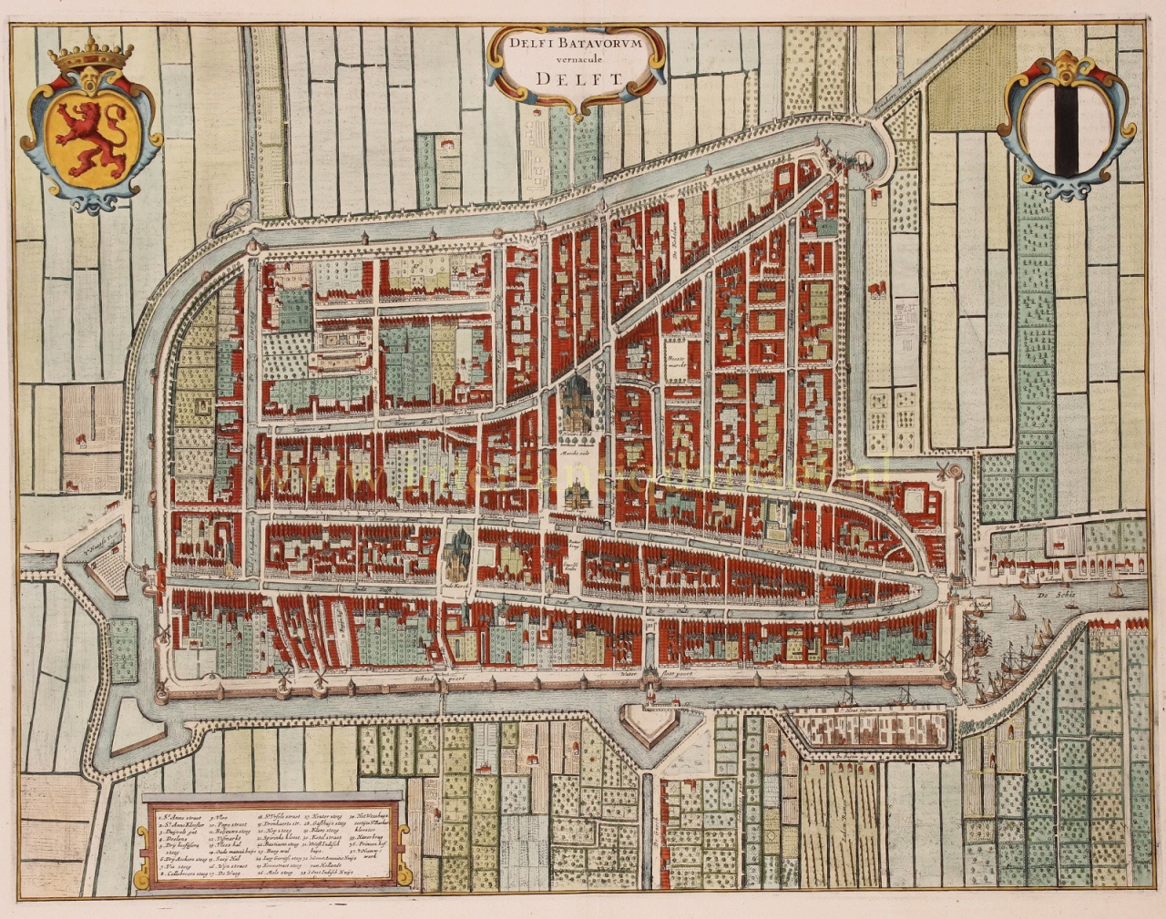
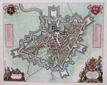
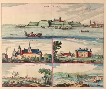
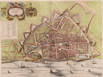
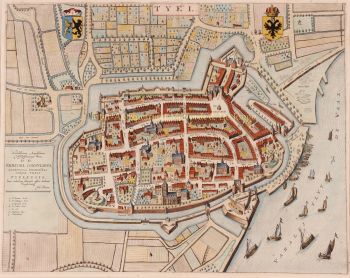
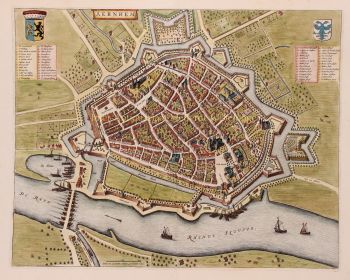
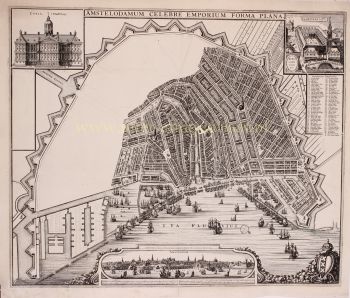
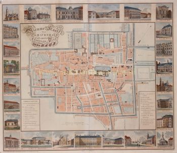
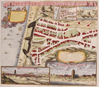
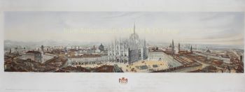
Alrededor de 1649, Joan Blaeu publicó una colección de mapas de ciudades holandesas llamada Toonneel der Steeden (Vistas de ciudades). En 1651 fue votado en el consejo de Ámsterdam. En 1654 Joan publicó el primer atlas de Escocia, ideado por Timothy Pont. En 1662 reeditó el Atlas Novus, también conocido como Atlas Maior, en 11 volúmenes y uno para los océanos.
Se planeó una cosmología como su próximo proyecto, pero un incendio destruyó el estudio por completo en 1672.
Joan Blaeu murió en Amsterdam el año siguiente, 1673. Fue enterrado en Westerkerk en Amsterdam.